
let's deepen
The Territory of Monticiano

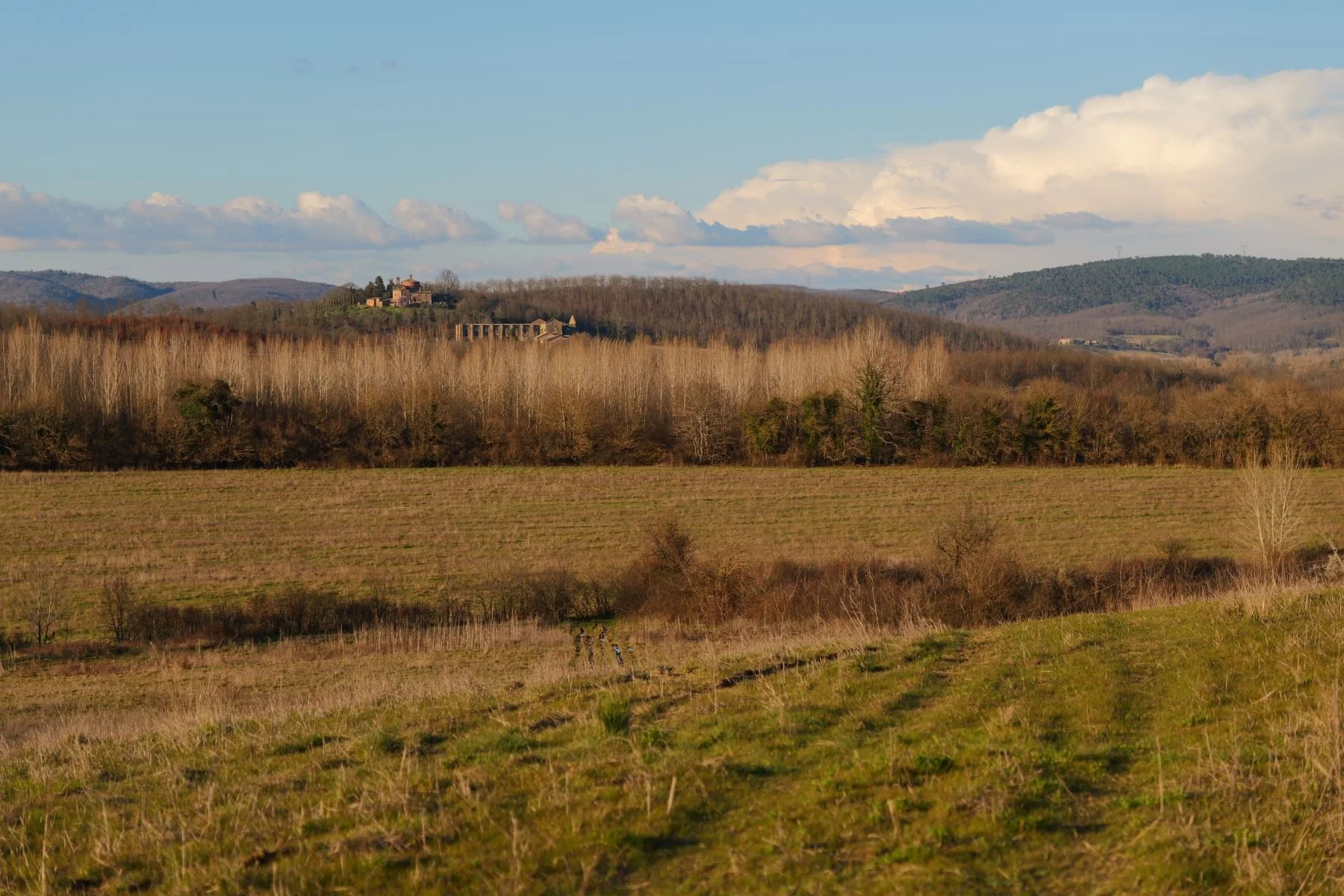
The cliché would have it that when thinking of Tuscany and the province of Siena one would think of hills crowned with cypresses, stone farmhouses and vineyards. Well, that is not all it is. There is a hidden part, close but lateral to the Grand Tour of Tuscan art cities, imbued with nature and tradition. A strip of wild territory, mostly covered by forests, straddling that imaginary line that divides the Maremma from inland Tuscany. Monticiano is its beating heart. A low density of inhabitants and a scarce, almost absent, agricultural exploitation of the territory have allowed the Monticiano area to flourish again in recent years, thanks in part to the Natrural Reserves of the Region of Tuscany that surround it, so much so that it has become a real attraction. We can now say that the state of preservation of the environment is the real added value of the territory of this small municipality, otherwise forgotten and decentralized from the mass tourist routes. This is not to say that in Monticiano there are not historical curiosities and important artifacts to visit and see that often, like the Hermitage of Camerata, emerge from the bottom of the forests, difficult to reach except by an invigorating walk. For a more in-depth look at the beauty of the municipality and description of the town and its hamlets, I refer you to the website of the Municipality of Monticiano.
An even higher value when one considers that territories with this state of preservation and such low anthropic pressure are hardly found in a hilly landscape and far from the mountains. At about 350 meters above sea level, the territory of Monticiano lies in a mild belt, characterized by a strong alternation of different environments. One only has to change slopes, or descend into a valley to go from Mediterranean scrub to boreal forest. It goes without saying that this area is a true paradise for biodiversity, which literally feeds on this great variety of habitats and environments; in fact, it is no coincidence that the municipality has been elected as the home of the Biodiversity Museum, which can be visited at the entrance to the village of Monticiano. This is a landscape that is a source of pride for all the inhabitants, who know that they share their territory with the countless species that characterize our beautiful region of Tuscany, providing them with a safe haven, in this fast-changing world, within Nature Reserves.

Water is the fundamental element of life, and Monticiano for being a Mediterranean municipality, is rich in it. Mainly its two rivers, which act as a natural boundary for miles, contribute to this wealth: the Merse River and the Farma River.
These waterways have shaped the land over the millennia, drop by drop, grain by grain of sand, but they have also constituted along with the boundless forests one of the most important economic resources of communities in the past. In fact, it seems that some of the ruined infrastructures, aimed at channelization and water containment, even date back to Roman times. But along their course there are still the remains of the so-called Ruote (mills) and locks designed to contain the mass of water to increase its potential energy. Almost perfectly integrated with the boulders and rocks of the river, due to the flow of centuries, these remains are often swimmable, as are the many other loops and pools formed by the becoming of the current naturally present along the waterways. Sometimes hidden and far from communication routes, they are destinations for hikers who want to enjoy a refreshing swim in fresh water. Among the archaeological remains, it is certainly important to mention the castle and natural baths of Petriolo sul Farma, recently renovated and home to a museum and an ancient inn.
Rivers being important for life are also the backbone of the Upper and Lower Merse Nature Reserves, and the Farma Nature Reserve.

The Nature Reserves surrounding the territory of the municipality are, in addition to the aforementioned reserves of Alto and Basso Merse and Farma, the Provincial Nature Reserves of Pietra, Cornate and Fosini, and the State Reserves of Tocchi, Cornocchia and Belagaio. This is a constellation of wildlife refuges in which one can admire: excavated by rivers, the oldest rocks of the Tuscan formation (400 million years ago); populations of relict species of the last glacial such as the Birch, Boxwood, and Badger; and, as for fauna, the Alpine Newt, a small amphibian present in the Val di Farma with its southernmost population; still one finds those plant species that, thanks to the phenomenon of thermal inversion, live at much lower heights above sea level than usual such as Beech andMaple Mountain, even at only 200 meters above sea level; rare species such as the Cerro-Sughera or detached from their range by many kilometers such as the Digitale Appenninica, endemic to the Apennines and Corsica; and also species typical of the Mediterranean maquis such as Holm Oak, Heather (sought after for the production of smoking pipes), Viburnum, Phillyrea and many others; a constellation of protected areas in which we find a density of ungulates, such as Wild Boar, Fallow Deer and Roe Deer, among the highest in the Western world, and the Wolf, at their heels with an ever-increasing population, whose tracks and sightings are increasingly frequent.
A variety of environments that range from the dark shady bottoms of the Farma valley at only 200 m above sea level to the tops of the Metalliferous Hills, such as the Cornate di Gerfalco, at more than 1,000 m above sea level. From which it is possible, turning your gaze, to sweep from the snow-capped peaks of the Apennines to the islands of the Tuscan Archipelago.
Among the noteworthy tourism infrastructures of the Municipality of Monticiano, it is worth mentioning the Monticiano Trail Network (RSM). The network of trails is perfectly searchable on the internet on the website of the Municipality of Monticiano, through the above link, or by downloading the gps navigation app FIEmaps, from the Italian Hiking Federation, downloadable from GooglePlay for android or on AppStore for iOS. You can download gps tracks and consult a map, you can also download a book in pdf format or consult it directly on your browser, from this link or on the website of the Municipality of Monticiano. There are as many as 48 trails totaling more than 190 km, which have been cleaned up and marked with appropriate red-white or yellow-blue coloring, depending on whether it is a main route or a connecting segment. In addition, it is possible to download the route description to smartphones and carry it with you. This represents a particularly important infrastructure for developing a type of hiker and environmentalist tourism, lover of history and the outdoors that finds its natural landing place in an area such as Monticiano.

Finally, the mighty ruin of the Cistercian abbey of San Galgano, a few kilometers from the town of Monticiano, deserves a mention. Famous throughout the world, it needs no introduction and is a coveted destination on our walks. The skeleton of a medieval dinosaur, the symbol of the power of God's church on earth, uncovered like Irish churches. A trap for the imagination that is dragged, through the trapdoors of memory, into that fantastical Middle Ages rooted in everyone's imagination.

